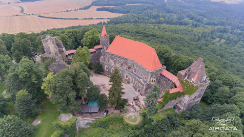
Aerial Photography
The passion of aerial photography is what made me go back and reestablish my drive for conventional photography. Unmanned aerial vehicles (UAV) are becoming more and more of a necessity in many fields such as construction, renovation, real estate, & search and rescue.
They provide precision mapping with GPS coordinates, distances, cut & fill volumes, & elevation data that can be provided within 24 hours.
Safety is the number one factor in getting the job completed with UAVs. UAVs are updated meticulously and tested before each flight. Firmware and software updates are integrated as soon as they are available. I have UAV Licenses in the USA and PL. Each job is also fully insured. Proper PPE is available if needed for the job site.
AirData's website and examples are embedded below or follow this link for a new page.
Embedded below is a 3D model of Moszna Castle located in Poland. More info can be found here. You can zoom in and out and rotate the map with clicking and dragging the mouse. These do not work on mobile.


